Projects

Long-running initiatives and our full project archive.

Long-running projects

Current projects

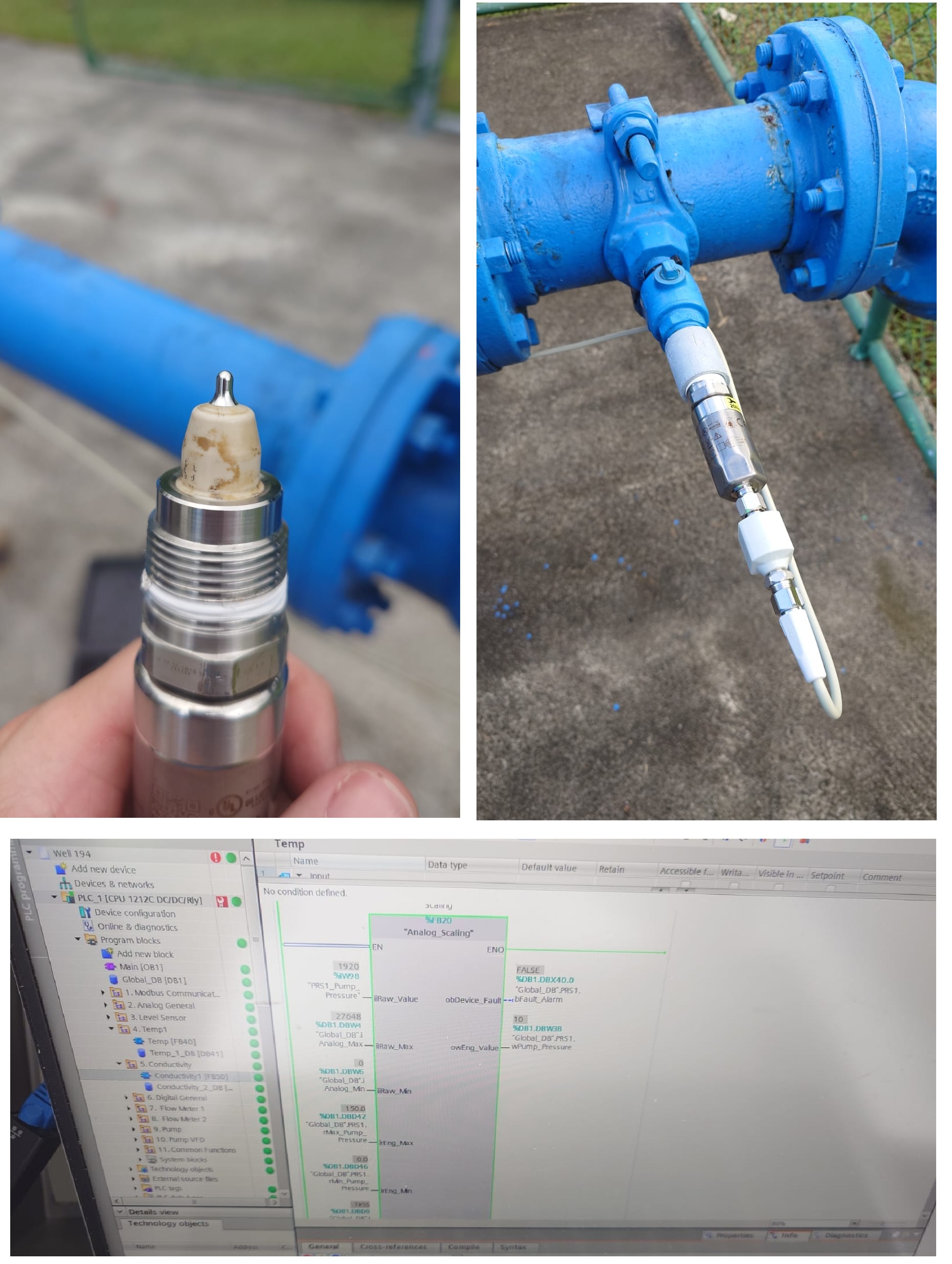
The American Samoa Hydrologic Monitoring Network

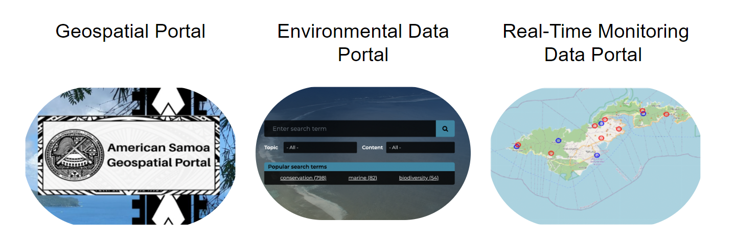
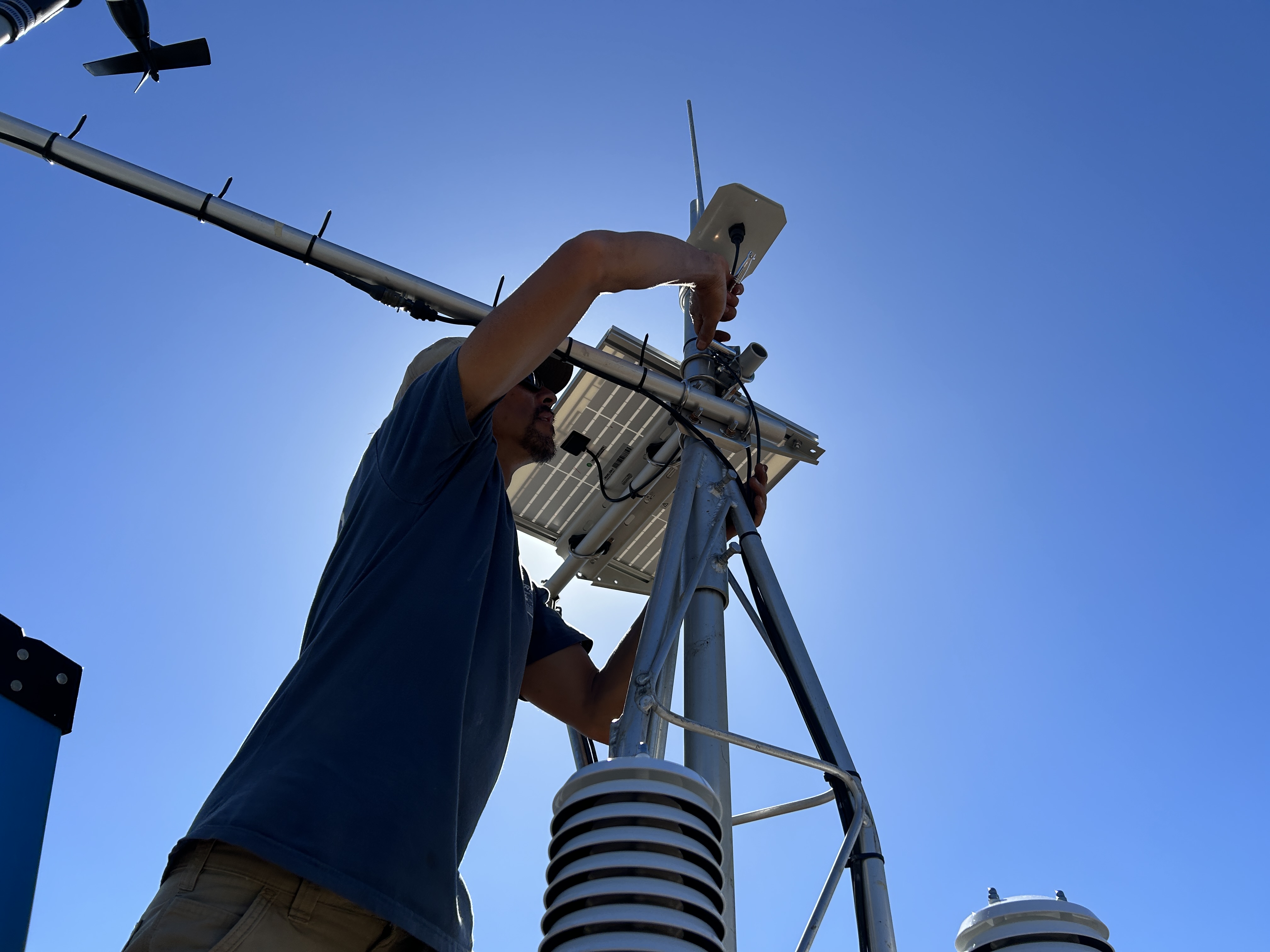
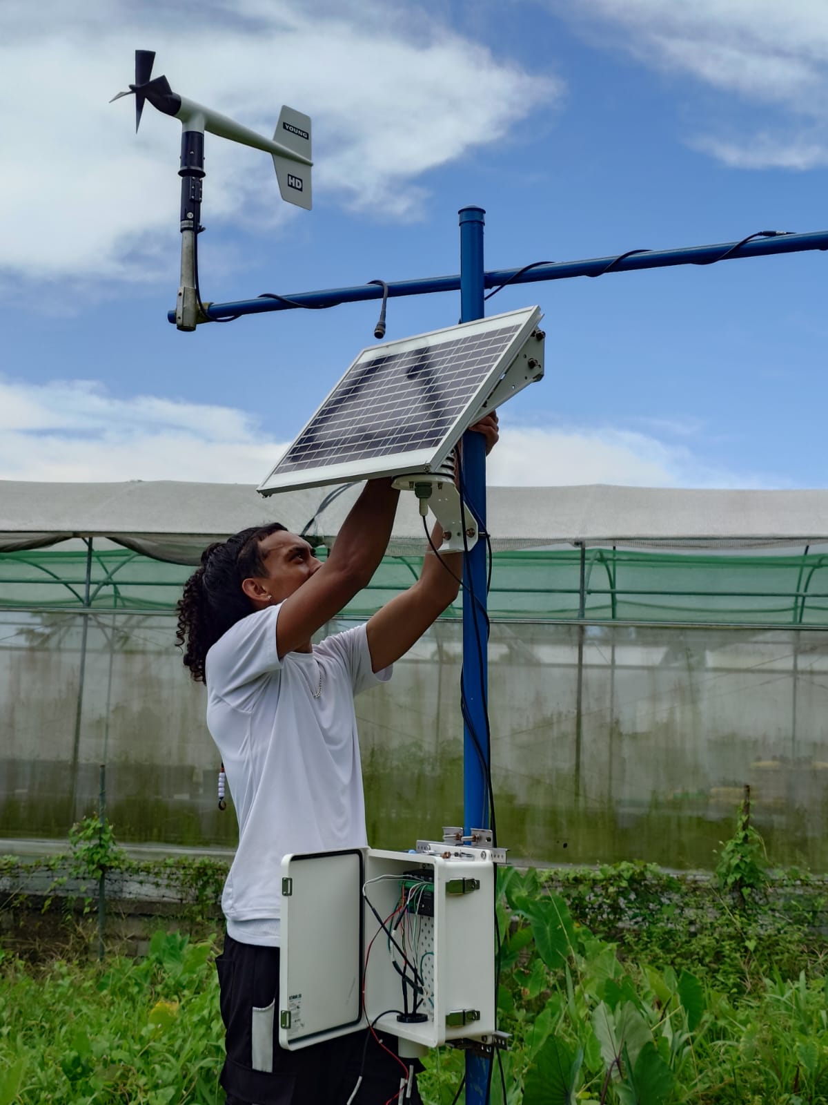
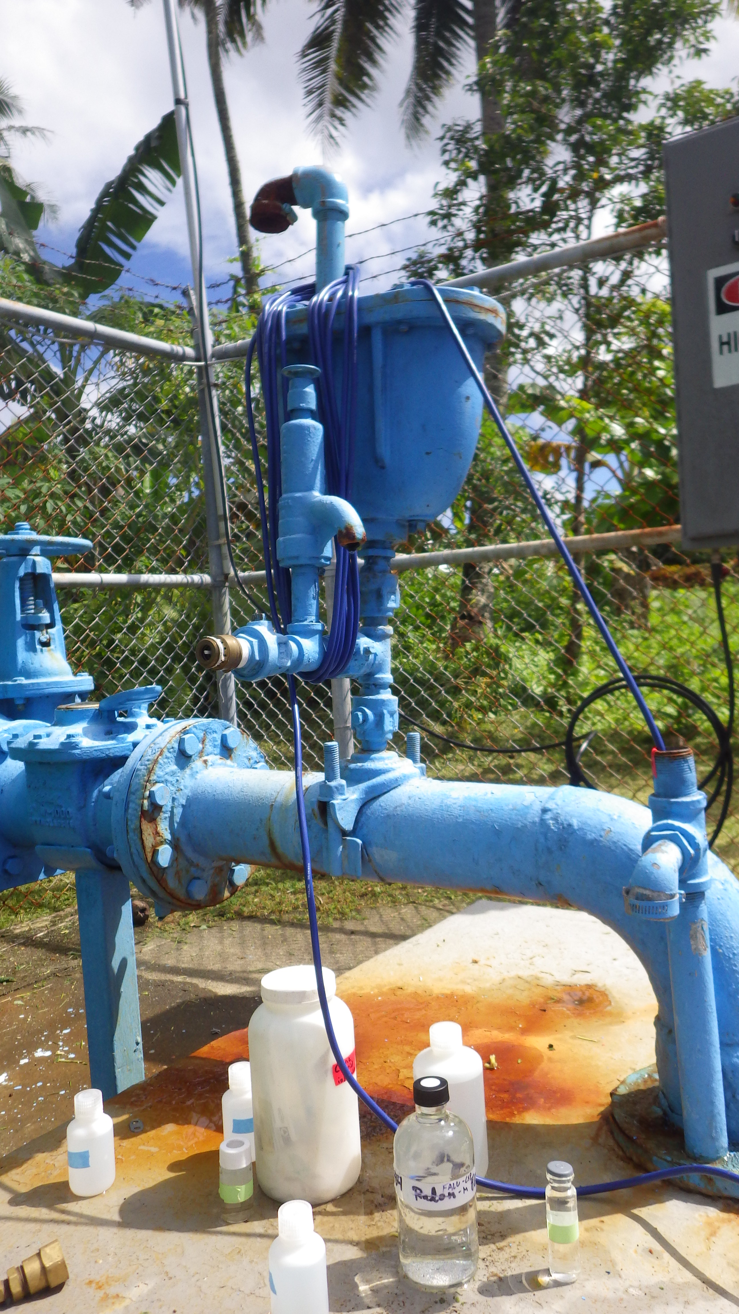
Working directly with the local water utility, ASPA, we developed a hydrologic monitoring network on Tutuila, American Samoa, including weather stations, stream gauges, and groundwater quality sensors. These measurements help track rainfall, streamflow, water levels, and water quality, supporting water-supply planning, drought monitoring, and flood preparedness.

Image for The American Samoa Hydrologic Monitoring Network

WAI Dashboard

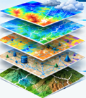
The Wai Dashboard initiative aims to bring together information on West Maui's water supply, use, and movement, including well pumping, streamflow, diversions, rainfall, and infrastructure. The goal is an accessible platform that helps communities and water managers understand water resources and plan for a more resilient future.

Image for WAI Dashboard

Pacific RISA

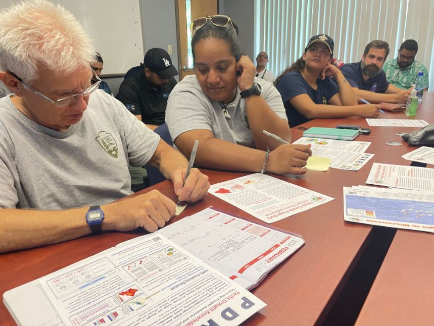
Through Pacific RISA, researchers partner with communities, agencies, and climate scientists to turn climate information into practical adaptation tools. SLOSH Lab contributions include community-engaged flood modeling, monitoring, and mapping that help local partners understand hazards and explore options for reducing climate risks in Hawaiʻi and the Pacific.

Image for Pacific RISA

Climate Chage Social Vulnerability Index Mapper

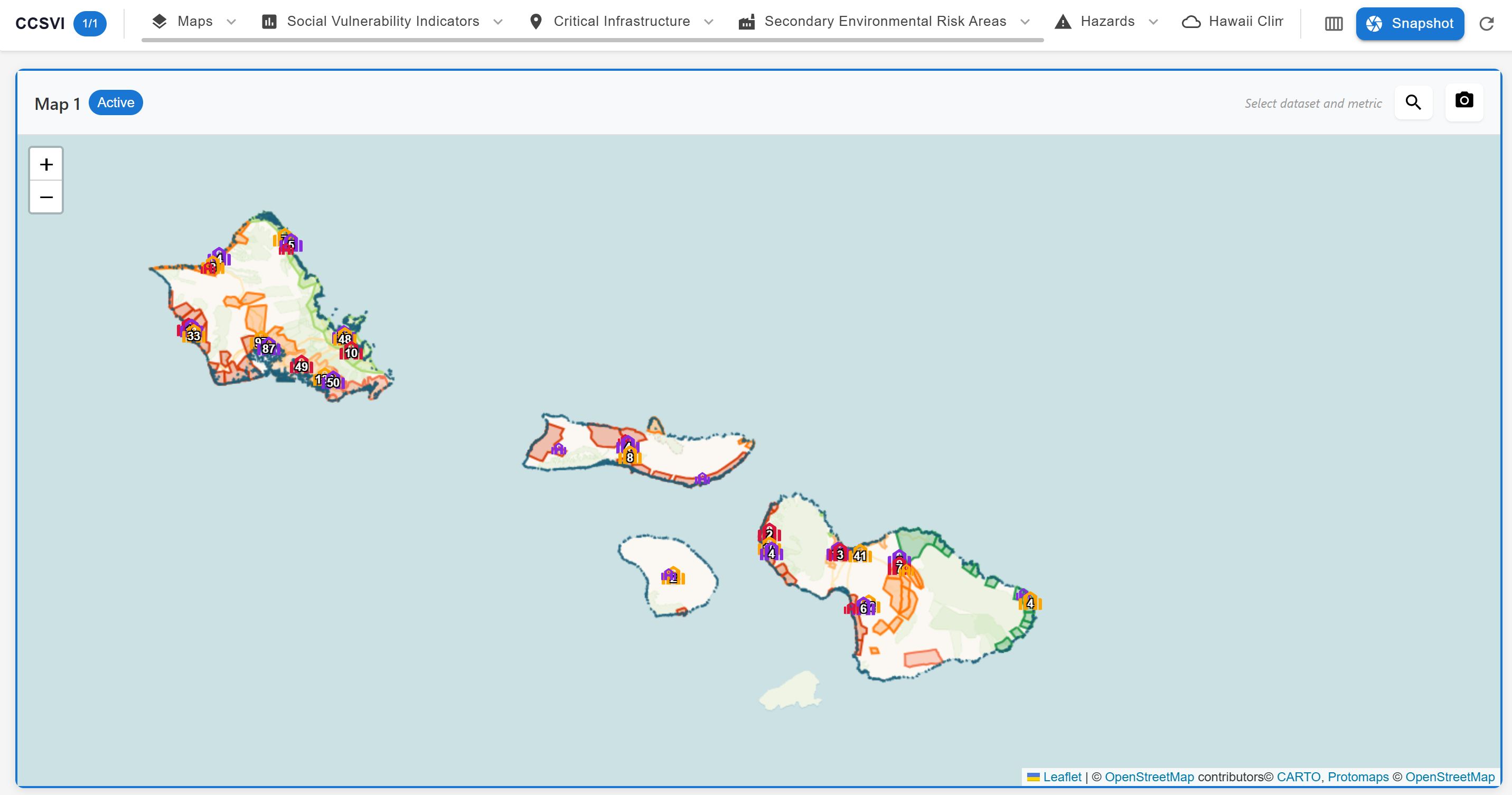
This mapping project partners with the HCDP Team and EPSCOR Project, to combinee climate hazards with social and infrastructure indicators to show where Hawaiʻi communities may face overlapping risks. Interactive maps help residents, researchers, and planners explore vulnerability and better target preparedness and climate adaptation efforts.

Image for Climate Chage Social Vulnerability Index Mapper

American Samoa Basin Study

The American Samoa Basin Study brings together local and federal partners to examine the future of Tutuila's water supplies. Groundwater and climate analyses consider how rainfall, water demand, and saltwater intrusion may affect the availability of freshwater, helping guide long-term water planning.

Image for American Samoa Basin Study

CIROH: Integrating Real-Time Salinity Monitoring and Critical Drought Thresholds to Enhance Water Resource Management in American Samoa

This CIROH project is developing tools to identify emerging water-supply stress in American Samoa. By combining real-time salinity monitoring with drought indicators and warning thresholds, the work aims to give water managers earlier information for protecting freshwater supplies.

Image for CIROH: Integrating Real-Time Salinity Monitoring and Critical Drought Thresholds to Enhance Water Resource Management in American Samoa

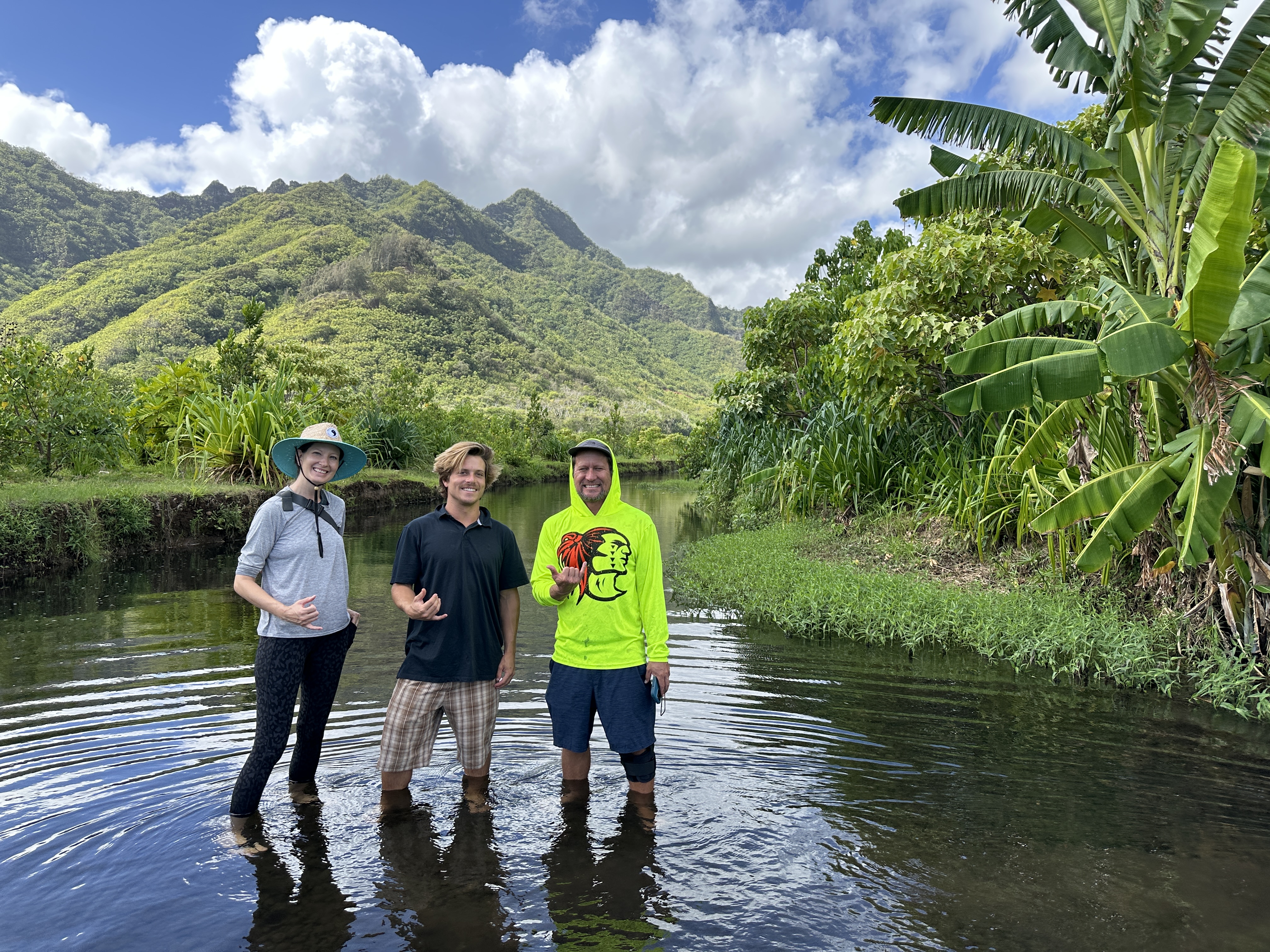
Enabling equitable adaptation to changing coastal flood risks through community engaged modeling in North Carolina and Hawaiʻi.

Working with communities in Hawaiʻi and North Carolina, this project combines flood modeling with local knowledge to explore present and future coastal flood risks. Community observations and collaborative discussions help shape adaptation tools and options that reflect each place's needs and priorities.

Image for Enabling equitable adaptation to changing coastal flood risks through community engaged modeling in North Carolina and Hawaiʻi.

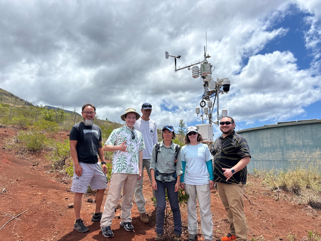
Sage Grande Testbed.

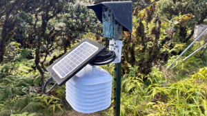
As part of the national Sage Grande Testbed, the University of Hawaiʻi team is helping test AI-enabled sensors that analyze environmental measurements where they are collected. Hawaiʻi research explores applications such as wildfire-smoke detection, volcanic activity, and faster identification of environmental hazards.

Image for Sage Grande Testbed.

Former projects

NSF RAPID: Identifying Drinking Water Contamination and Social Vulnerability Impacts from Urban Fires

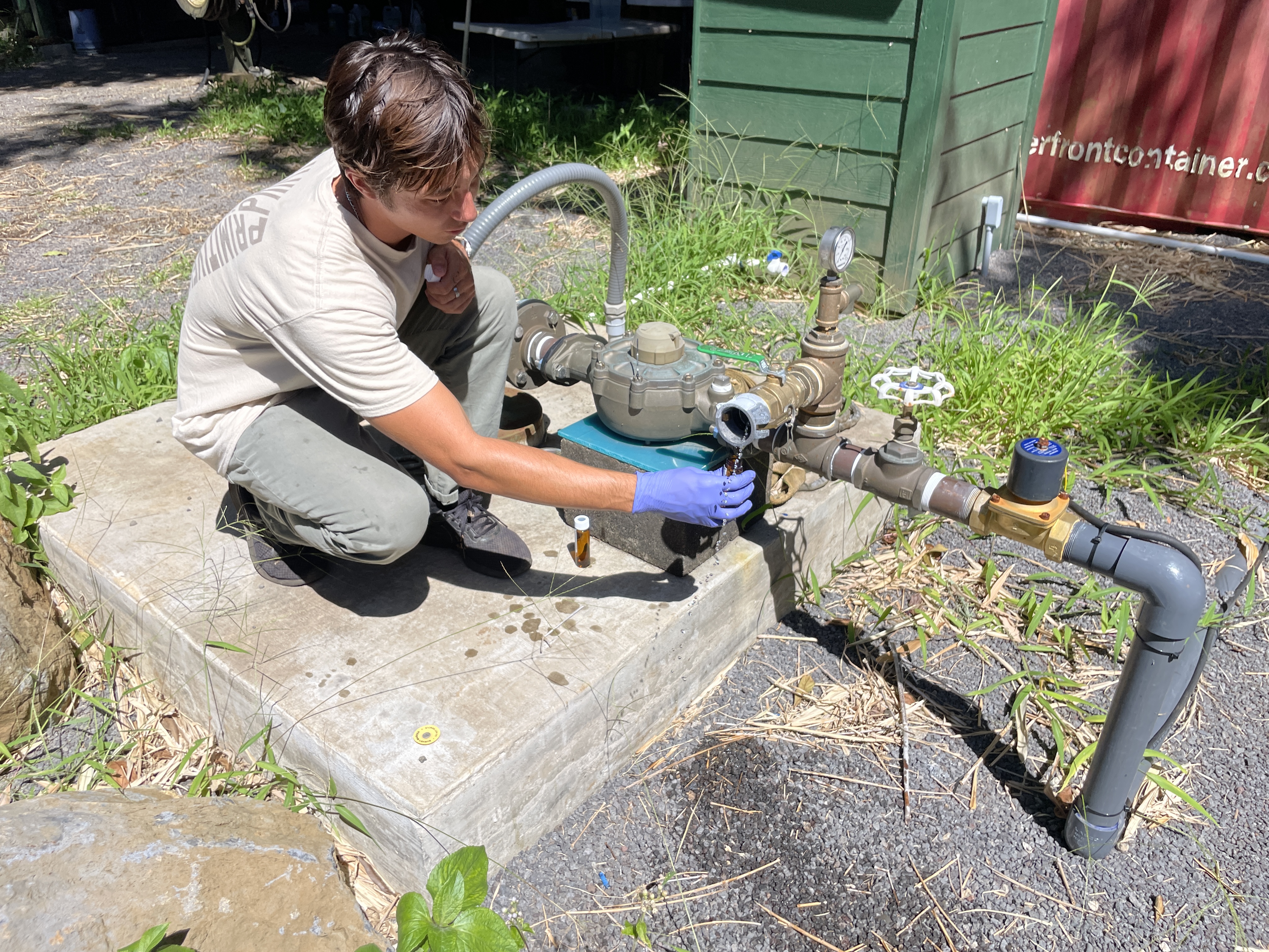
Following the 2023 Maui wildfires, this NSF-funded project worked with residents to investigate potential drinking water contamination and how water-system disruptions affected communities. The research helps inform drinking-water safety decisions, public communication, and more resilient disaster response.

Image for NSF RAPID: Identifying Drinking Water Contamination and Social Vulnerability Impacts from Urban Fires

CIROH Enhancing Collection and Application of Hydrologic Data to Improve Operationalized Weather and Flood Prediction in American Samoa

This CIROH project improved hydrologic observations and high-resolution rainfall information for American Samoa. Working with National Weather Service partners, the team also explored forecasting approaches to strengthen localized weather and flood predictions in places with limited monitoring coverage.

Image for CIROH Enhancing Collection and Application of Hydrologic Data to Improve Operationalized Weather and Flood Prediction in American Samoa

Act 217 – Developing a Wastewater Overlay for the Hawai‘i Cesspool Prioritization Tool

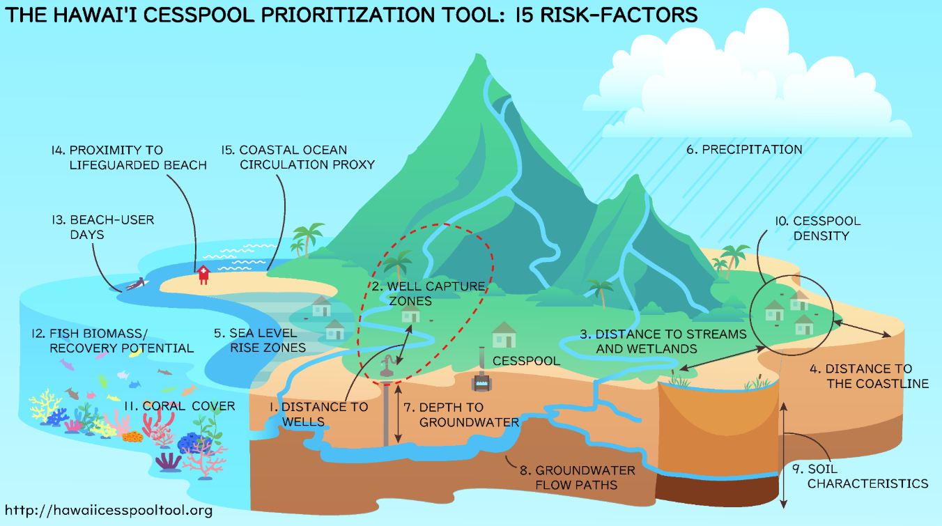
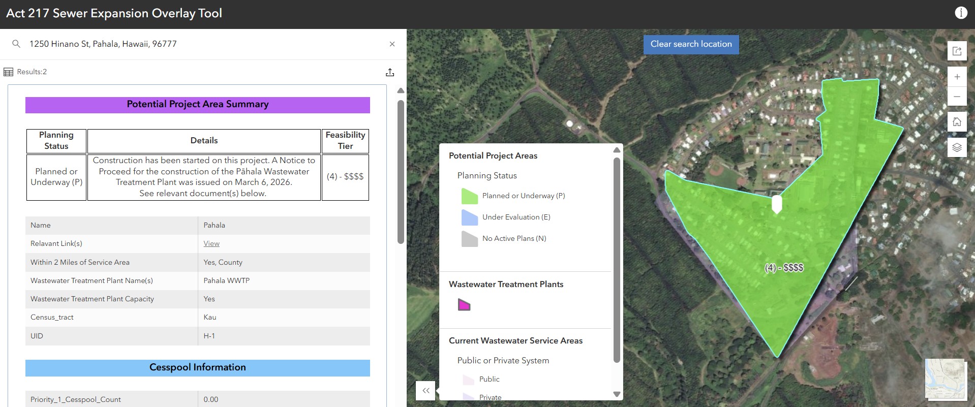
Building on the Hawaiʻi Cesspool Prioritization Tool, the Act 217 Sewer Expansion Overlay identifies areas where connecting cesspools to centralized wastewater systems may be worth exploring. By comparing existing infrastructure and geographic constraints, the tool gives communities and agencies a statewide starting point for evaluating possible sewer-expansion projects.

Image for Act 217 – Developing a Wastewater Overlay for the Hawai‘i Cesspool Prioritization Tool

Detecting Cloud Immersion through Analytical and Machine Learning Image Analysis.

Fog is an important water source for Hawaiʻi's mountain cloud forests, but measuring how often clouds immerse the forest is difficult. This project uses field cameras and machine-learning image analysis to detect cloud immersion and better understand how fog supports native ecosystems and watershed health.

Image for Detecting Cloud Immersion through Analytical and Machine Learning Image Analysis.

Laying the groundwork for water security preparedness and resilience in Hawaiʻi and USAPI through strong partnerships, robust scientific information, and increased analytical capacity.

This multi-partner initiative seeks to strengthen water security across Hawaiʻi and the U.S.-Affiliated Pacific Islands. By building partnerships, improving scientific information, and expanding local analytical capacity, the work helps agencies and communities prepare for changing freshwater needs and availability.

Image for Laying the groundwork for water security preparedness and resilience in Hawaiʻi and USAPI through strong partnerships, robust scientific information, and increased analytical capacity.

Haiku Community Groundwater and Water Resources Study.

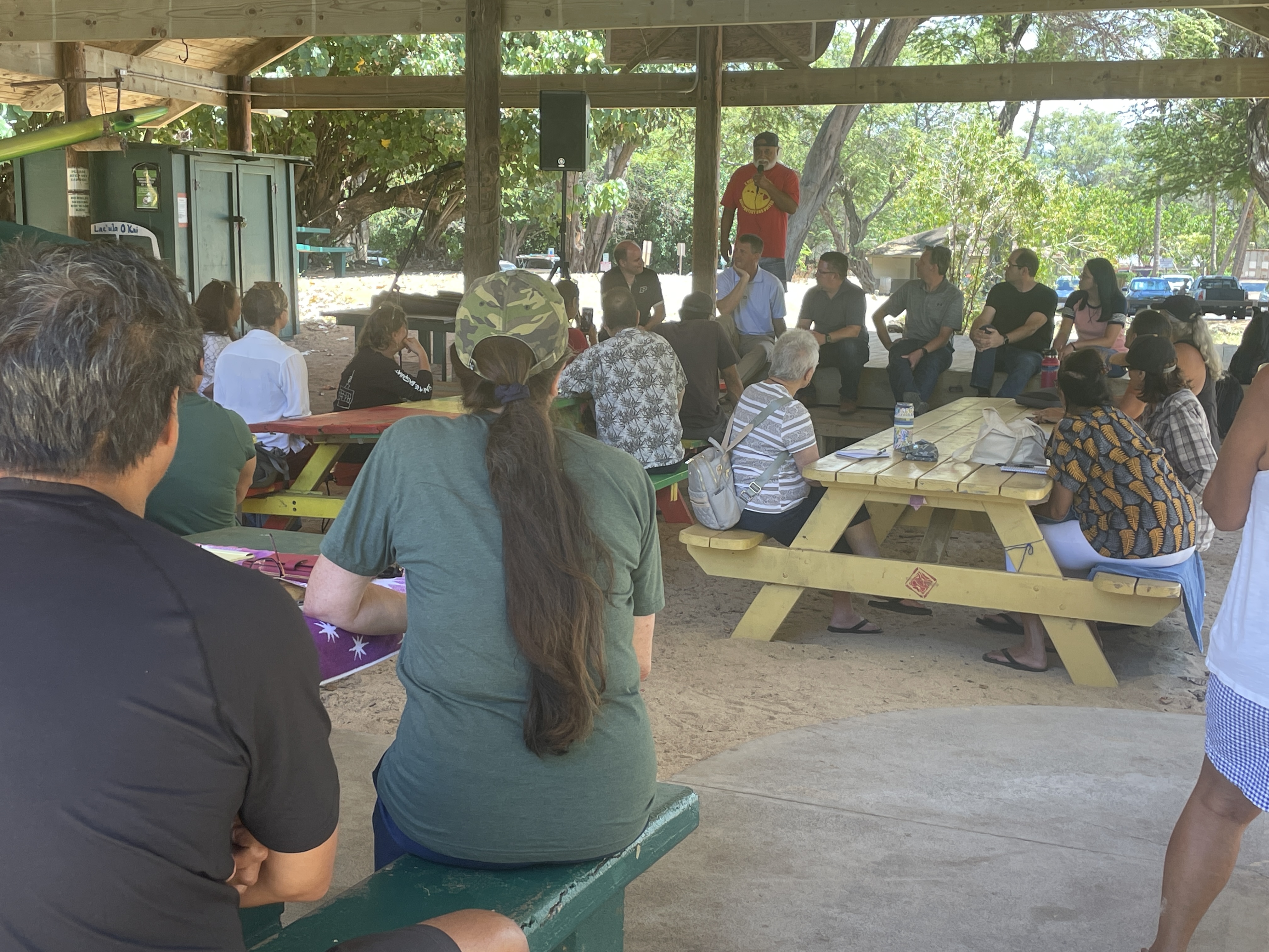
In partnership with the Haʻikū community, this study investigates how groundwater, rainfall, streams, and water use interact in East Maui. Field measurements and community participation help clarify freshwater availability and how drought, climate change, and changing demand may affect local water resources.

Image for Haiku Community Groundwater and Water Resources Study.

Advancing Climate Adaptation and Coastal Community Resilience to Flooding in Hawaiʻi.

Working with the Waiehu Kou community on Maui, this project combines flood modeling, historical records, community knowledge, and field observations to better understand flooding hazards. The resulting tools support conversations about infrastructure, land stewardship, and practical steps to make coastal communities more resilient.

Image for Advancing Climate Adaptation and Coastal Community Resilience to Flooding in Hawaiʻi.

Water Use Information for American Samoa.

This project organized water-use information for American Samoa into more accessible, standardized datasets. Working with local utility data, the team documented how water is produced and used and made records easier to share and analyze, helping support water planning and conservation.

Image for Water Use Information for American Samoa.

Tutuila Hydrogeological Exploration and Assessment: Data Collection and Hydrologic Water Budget Modeling.

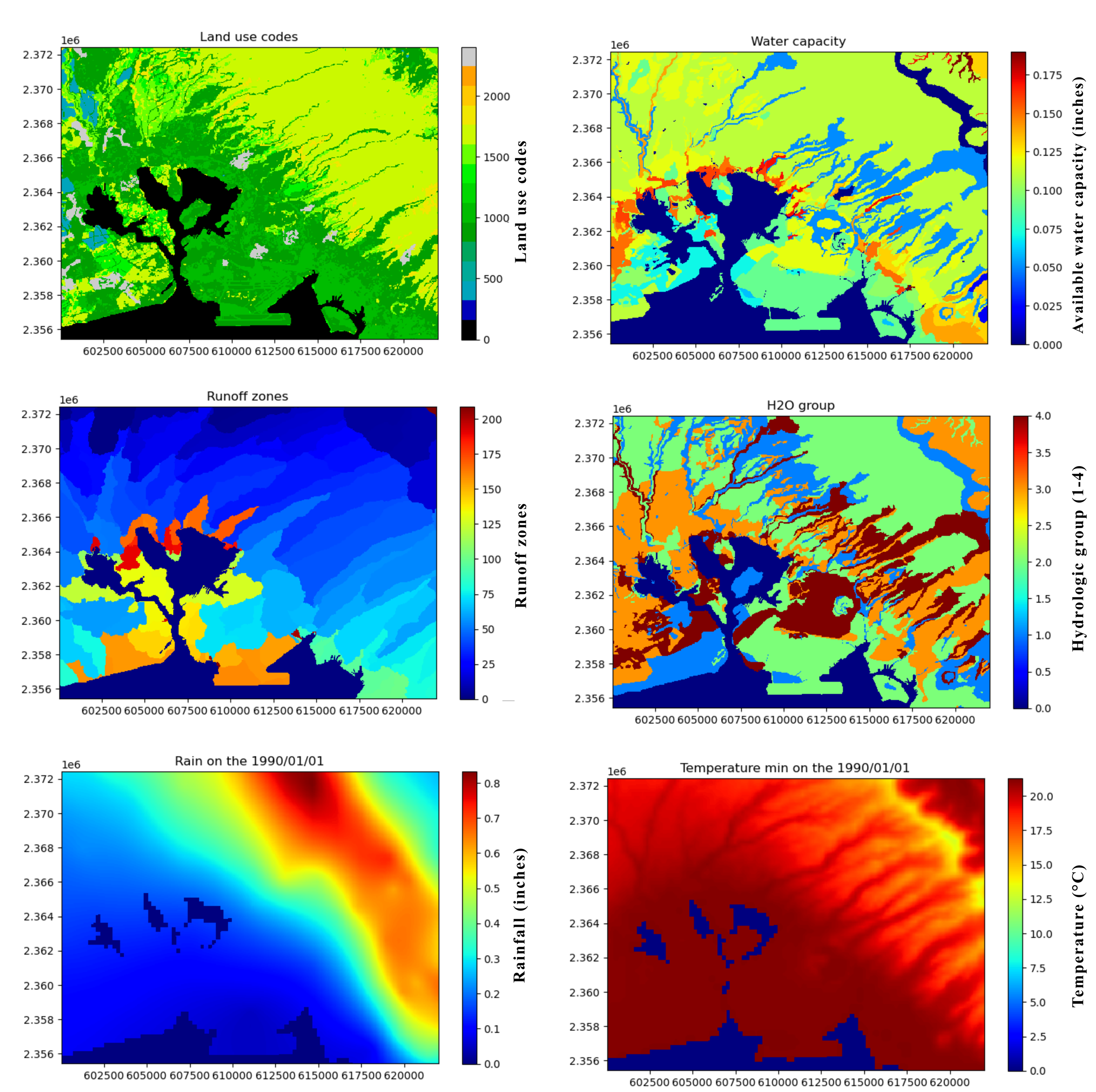
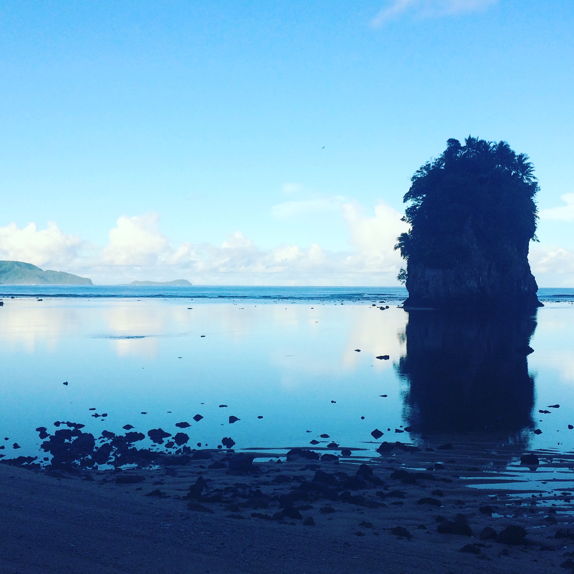
This foundational study combined field observations, geologic information, and hydrologic modeling to better understand groundwater resources on Tutuila. The work assessed groundwater recharge and water availability, providing a stronger scientific basis for future drinking-water planning in American Samoa.

Image for Tutuila Hydrogeological Exploration and Assessment: Data Collection and Hydrologic Water Budget Modeling.

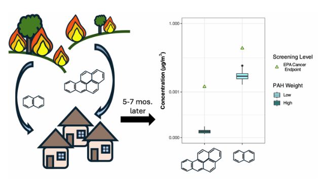
RAPID: Levels of PM, VOCs, and PAHs in Residences Post-2023 Maui Wildfire: Exposure and Mitigation Assessment.

Through collaborating with researchers at Harvard, our lab assisted with this NSF RAPID study which measured airborne particles and fire-related chemicals in Maui homes following the 2023 wildfires. Researchers also examined whether portable air cleaners could reduce indoor exposure, providing evidence to inform recovery and public-health guidance after urban wildfires.

Image for RAPID: Levels of PM, VOCs, and PAHs in Residences Post-2023 Maui Wildfire: Exposure and Mitigation Assessment.